Description
Be prepared! Plan your next trip to one of the great Hawaii parks. Download maps and guides before you venture into the Wi-Fi free wilderness.
Discover
- 50+ national parks, state parks, monuments, forests
- 20+ neatly folded maps by the National Park Service, Bureau of Land Management, United States Forest Services, and other agencies.
- 20+ campgrounds and campsites
- 300+ trails and trailheads
- 12,000+ points of interests
Plan
- Download maps, park brochures, and newspapers. These downloads are ready when you are offline and off the grid in the great outdoors.
- Download arbitrary map sections as offline packs.
- Photo galleries, panorama views.
- Share links to parks and maps with friends
Have fun
- GPS and GPX support: record your hikes, import GPX routes, tracks and waypoints for your hiking trails.
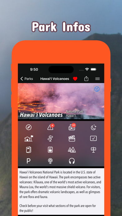
- Detailed national park information: alerts, news, visitor centers, campgrounds, driving directions, weather.
- Open your favorite maps app to get a route to the selected park.
- Current weather conditions, easy access to multi-day forecasts, sunrise and sunset times.
- Push notifications for park alerts, park news, weather warnings
So download maps and guides for:
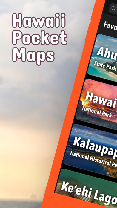
Ala Kahakai
Haleakalā
Hawaii Volcanoes
Honouliuli
Kalaupapa
Kaloko-Honokōhau
Pearl Harbor
Puukoholā Heiau
Puuhonua o Hōnaunau
There are additional useful information and brochures for many Hawaii state parks:
Ahukini, Ahupuaa O Kahana, Akaka Falls, Diamond Head, Hāena, Īao Valley, Kealakekua Bay, Kaena Point, Kaiwi, Keaīwa Heiau, Kekaha Kai (Kona Coast), Kīholo, Kōkee, Lapakahi, Lava Tree, Mākena, Nāpali Coast, Pālāau, Polihale, Polipoli Spring, Russian Fort Elizabeth, Ulupō Heiau, Waiānapanapa, Wailua River, Waimea Canyon, Waimea, Wailuku River
What's new (v7.9)
Late Spring 2026 Updates!
• New Features
Shows list of waypoints along track/route.
Better map readability: Your map is now easier to read! Icons and text labels now respect your systems font size preferences.
New style: current route is shown in blue, current track recording in red with distance markers.
• Trusted data
Built with official information from the National Park Service, Bureau of Land Management, US Forest Service, recreation.gov, and other agencies.