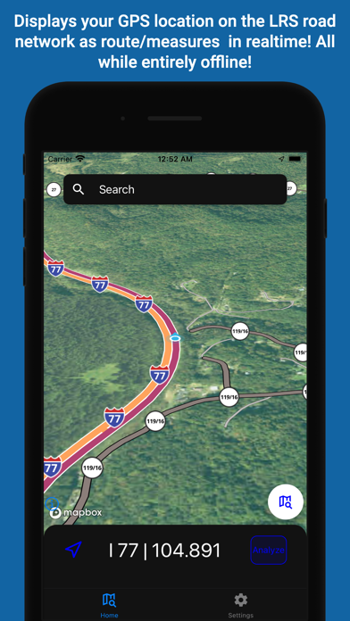
NexusLRS is an app that allows users of a road network to view their location on a road network (LRS) as a local municipalities see it. (typically state DOTs) Features include:
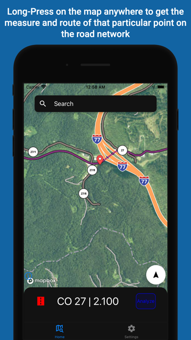
* Shows your position on the LRS (milepoint/routeid) updated in real time at a frequency of once every second
* Works entirely offline after initially download no network capabilities needed (a user is associated with single municipality)
* Offline mapping to view your road network from a base map downloaded locally on the phone
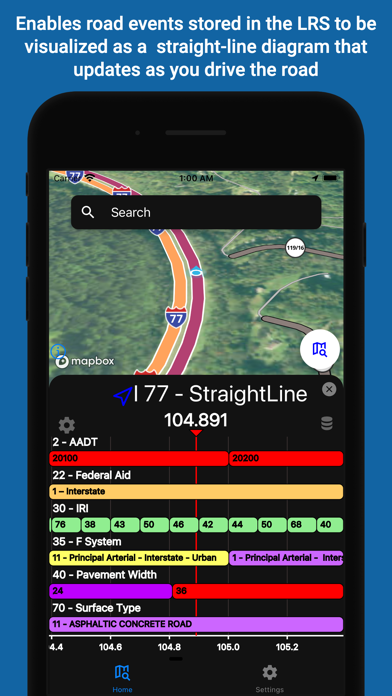
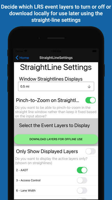
* Displays straight line diagrams of linear features along a route
NexusLRS is designed to be a platform that allows anyone who might need to see a road network as state DOT might see it. Typical users would be people/organizations that deal with DOTs a lot or DOT workers themselves. Access to such data in the field or at all is pretty sparse, this app changes that.
What's new (v0.0.23)
# 0.0.23 - 10/4/2022
* Added email confirmation field in account creation
* Added a guard screen in front of starting the local server, this means when a user first logs in and downloads data the map should work immediately
* Fixed a regression related to not immediately following a users location on start up