Description
Track your altitude. Map your routes. Relive your adventures in 3D.
A precise GPS altimeter and complete trip recorder for hiking, biking, skiing, paragliding, or any outdoor adventure where altitude matters.
Live tracking
• Real-time altitude with vertical accuracy
• Distance, elevation gain & loss, average speed, stopwatch
• Live Activity & Dynamic Island support — keep your stats on the Lock Screen
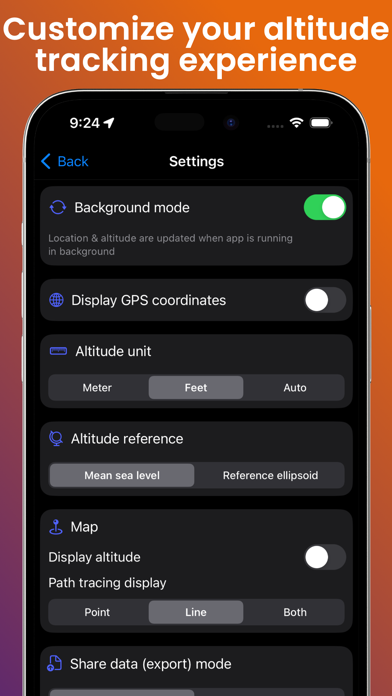
• Background tracking, so your trip keeps recording in your pocket
On the map
• Switch between satellite, hybrid and standard map styles
• Colored polyline along your route
• Tap any point to see altitude, distance and speed at that exact spot
Your trips, saved & shared
• Trip history — every session stored locally on your device
• Import GPX files as a ghost trace to follow a route on the map
• Export your tracks as GPX (Pro)
• Snapshot and share your map view with one tap
3D flyover videos (Pro)
Turn your favorite hike into a cinematic 3D flyover video — your route, your camera path, your altitude stats burned in. Export to your Photos library and share it everywhere.
100% local, 100% private — no account, no cloud sync, no analytics. Your data stays on your device.
Works offline. Download once, explore everywhere.
What's new (v1.6.0)
• Trip history: every session saved locally, with map snapshot and stats
• Import GPX routes as a ghost trace, export your own tracks as GPX (Pro)
• Turn any trip into a cinematic 3D flyover video to share (Pro)