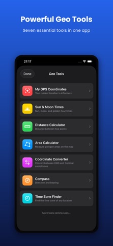
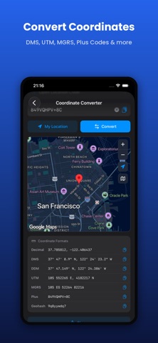
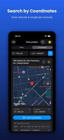
LatLong is a powerful yet simple tool designed for searching locations worldwide, converting between coordinate formats, and viewing them on the map.
FEATURES
- Worldwide place name search
- Address from coordinates (reverse geocoding)
- Tap anywhere on the map to get coordinates
- 4 coordinate formats: Decimal, DMS, UTM, MGRS
- 3 map providers: Apple Maps, Google Maps, OpenStreetMap
- Standard, Satellite, and Hybrid map layers
- Favorites and recent searches history
- One-tap location sharing
- 8 language support
- Light, Dark, and System theme options
- One-tap copy for all formats
WHO IS IT FOR?
- Sailors, pilots, and travelers
- GIS professionals and map experts
- Geography students and educators
- Search and rescue teams
- Professional and casual users alike
ACCURACY
UTM and MGRS calculations use WGS84 datum. Special UTM zone rules for Norway and Svalbard regions are supported.
THE LATLONG.NET MOBILE APP
Carry the power of the trusted latlong.net website in your pocket. Works smoothly with an internet connection, is free, and continuously improved.
What's new (v2.0)
• Elevation — instantly see the height above sea level (in meters and feet) for any place you search and for your current location.
• Polish and small fixes for a smoother experience.